
An Example: The Black Line
The aesthetics of the border on the map of the Euregio Meuse-Rhine, for example, is limited to four line types, representing boundaries between municipalities, regions & communities, countries and the outer border of the border region itself. This does not appear to be much different on maps of other border regions.
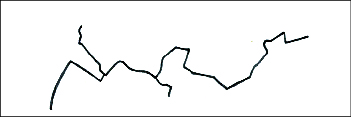
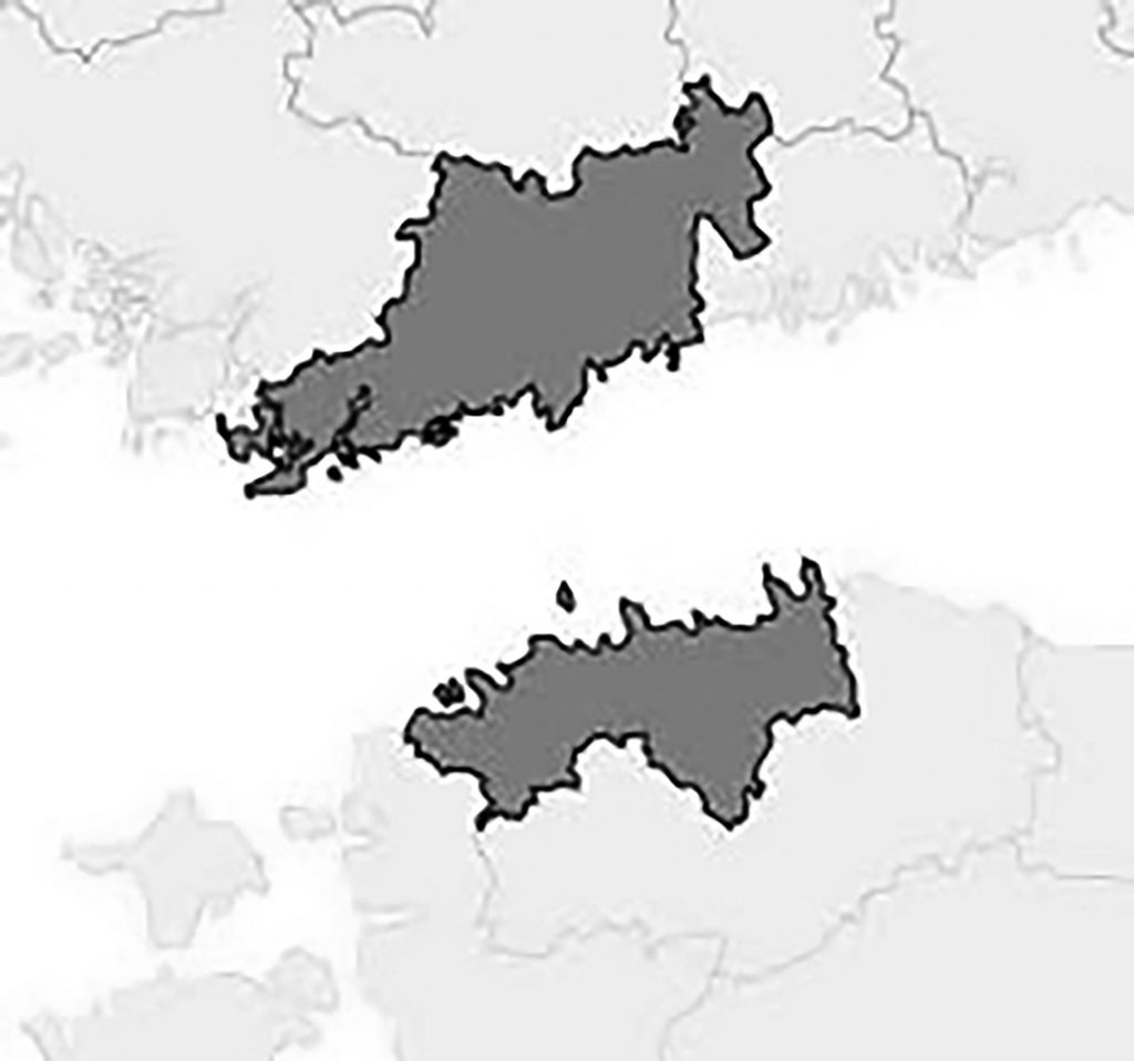
Above: border between municipalities (top left), between regions (top right), between countries (bottom left) and the outer border of the Euregio Meuse-Rhine itself (bottom right)
The simplistic representation of the border does – of course – not represent the rich variety of border experiences and the impact of that border on its physical context. ITEM lists a variety of experiences on their website “(…) national borders, language borders, cultural borders and the nuances within borders that they indicate as hard and obvious, softer or historically grown.1Link to the website of ITEM, accessed February 8, 2019, https://www.maastrichtuniversity.nl/item These nuances and differences are thus often reduced to a black line in a few slight variations.
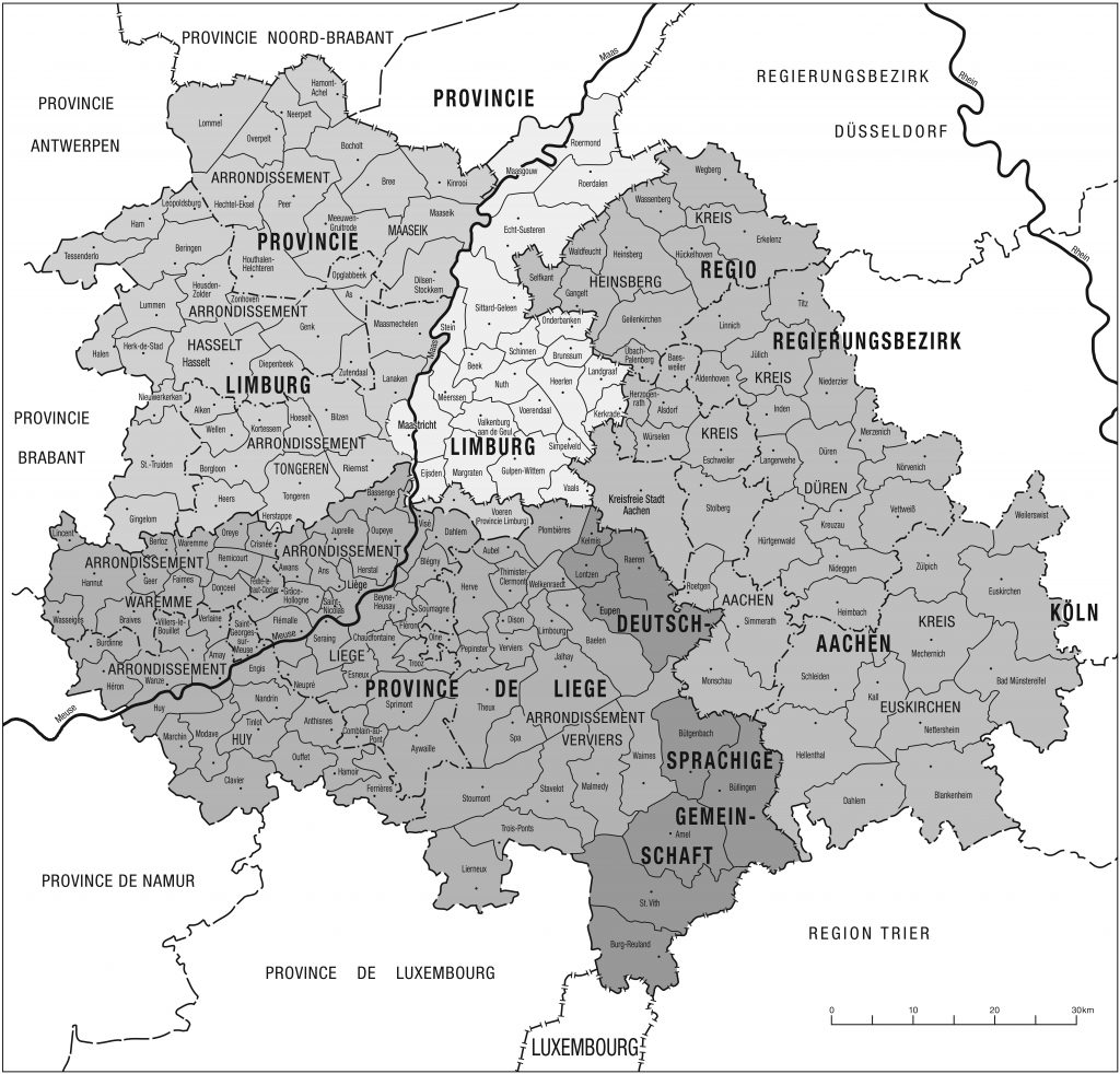
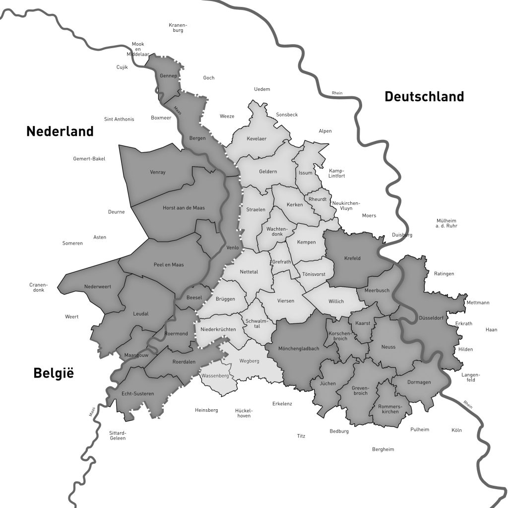
Above, from left to right: maps of the Euregio Meuse-Rhine (2019), Euregio Rhine-Meuse-North (2019) and Euregio HELTAL (2020)
If we represent and reduce the border in a border region to one simplistic and stripped-down black line repeatedly, then an unintended consequence appears. Namely that we think too simplistic and one-sided about that physical border region, as the map doesn’t allow for anything but black and white.
[1] Link to the website of ITEM, accessed February 8, 2019, https://www.maastrichtuniversity.nl/item