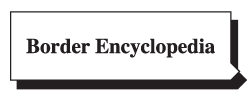
Is was a Difficult Day
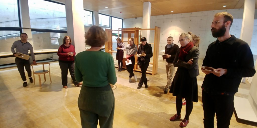
While Guus from the technical department of the Zuyd Hogeschool was fixing the heating, we are waiting for the invitees to arrive. The purpose of the day is to talk with people from different backgrounds that have expertise in borders and their consequences in border regions. The first research studio, the one at Zuyd University, is in the middle of its existence and so is the project.
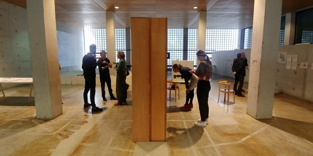
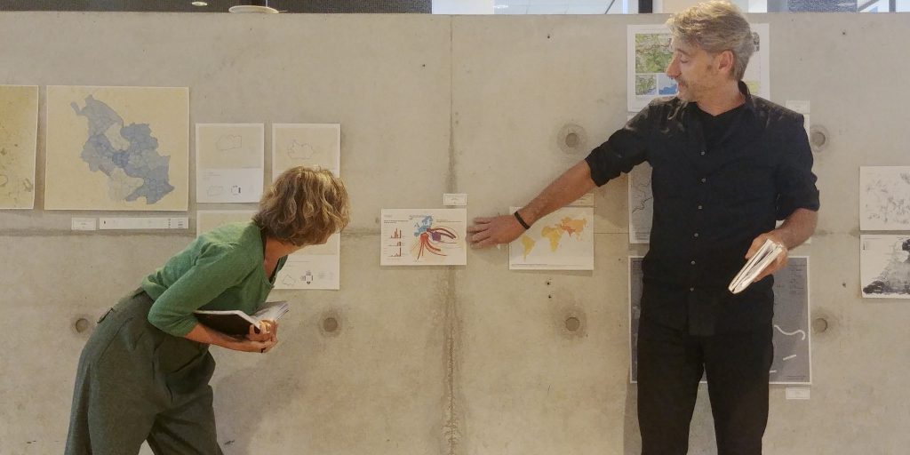
During the morning session the experts share a map and explain the importance of that map for their own work and practice. I am starstruck I think. I am wondering what day it will be. What am I looking for? What do I want to learn today?
It is time to present the project Border Encyclopaedia itself. And while I am presenting, I feel that it is hard work. It is difficult to explain what we have been doing in the research studio. I feel that I am losing the invitees’ attention and that it is hard for them to follow. I say to myself: it is normal, it just is hard to clearly explain a project that is in a phase where it is not clear yet what the project is about.
It is a difficult day.
Only much later I realise that it was too early to share to project, but at the same time it was also perfect timing. Until the expert meeting, the project was paralysed. I felt a huge responsibility and pressure for what I saw as a ‘first big academic real serious research project’.
The whole day, and the whole project until that day, was somehow indirectly devoted to convincing the invitees that the project is academically valuable. The focus was on trying to explain (as academic as possible) how the mapping process took place instead on the initial purpose to investigate other ways of representing border experiences. I am applying double standards. I am not trusting my own artistic research practice but losing myself in academic values that do not scale up with the project.
It is a wake-up call.
The expert meeting allowed to let go the pretended academic expectation and start doing and making, trusting our own method and artistic research practice.
But nevertheless, it was a difficult day.
Context
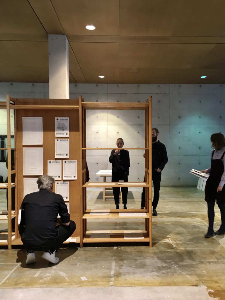
Expert meeting Border Encyclopedia
May 7th, 2019 – Zuyd University, Maastricht Academy of Fine Arts and Design (Open Space)
Herdenkingsplein 12, NL-6211 PW Maastricht
- Morning program:
- Introduction of the experts and/through their maps
- Introduction on the project,
- Approach and Methodology
- Afternoon program:
- Output of the project
- Expectations regarding the direction
- Value of the project in variable contexts
Towards the expert meeting, the project focusses on individual maps as direct alternatives/reactions on the official map, in this case the official map of the Euregio Meuse-Rhine. Besides performing BCA’s and making these maps, a metaphorical instrument is developed collectively: its aim is to help in being more systematic in performing the BCA’s.
The expert meeting shines a light on both this metaphorical instrument and the maps generated, keeping in mind this instrument.
Some of the questions addressed during the debates and discussions are the following:
Realising a multiplicity of maps to do justice to the border is required, how to do so? How to join individual and personal cartopological maps of borders? What is the position of these maps, what is to be learned by making these maps and reading them?
Participants
Dr. Ruth Benschop, reader of the Research Centre for Arts, Autonomy and the Public Sphere at Zuyd University.
Prof. dr. Henk van Houtum, head of the Nijmegen Centre for Border Research
and Associate Professor Political Geography & Geopolitics at Radboud University Nijmegen.
Dr. Ing. Carolin Stapenhorst, Junior Professor Tool Cultures at the RWTH Aachen University, Faculty of Architecture.[MV1]
Assoc. Prof. dr. Riccardo Palma, associated professor at the department of Architecture and design of the Politecnico di Torino.
Dr. Ing. Andrea Alberto Dutto, co-editor of the book ‘Sketching plans, drawing maps. Architecture, cartography, and architectural design machines’ (2016).
Asst. Prof. Djoeke van Netten, assistant professor (UD) Early Modern History at the University of Amsterdam.
Assoc. Prof. dr. Chiara Occelli, associated professor at the department of Architecture and desigh of the Politecnico di Torino, specialised in Cultural Heritage.
Alena Khamenshchikova, PhD candidate at the Department of Health, Ethics & Society at Maastricht University.
Remy Kroese, architect and co-founder of Dear Hunter and senior lecturer research at Zuyd University, Academy of Architecture, Maastricht.
Marlies Vermeulen, co-founder of Dear Hunter and PhD candidate at the Research Centre for Arts, Autonomy and the Public Sphere at Zuyd University, Maastricht University and RWTH Aachen. Simultaneously, she teaches at faculties of architecture of different universities.
Participating students: Theo Vantomme, Hannah Bosland, Omid Kheirabadi.
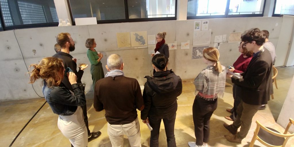
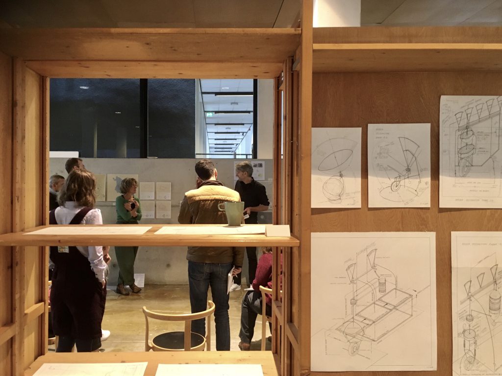
Expert Maps
As a way of presenting themselves, their field of work and their interests, the participating experts were invited to select and present one map each.
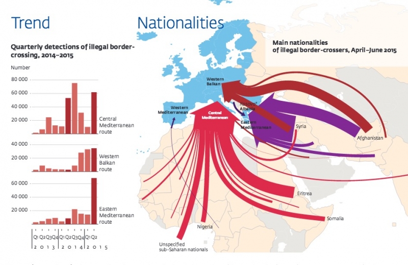
Prof. dr. Henk van Houtum discussed a map made by Frontex, the European Border and Coast Guard Agency. It represents the way the EU sees the migration flows. He argued that this depiction, while still the dominant view, is nothing more than a lie. He cites three fundamental flaws: 1) the state-grid; you represent and therefore power is already there. 2) the frame itself; world migration is not represented and there the scope is limited. 3) the arrows; how we represent is flawed. Henk wonders if there is a more nuanced representation of borders and migration, how to untrap and create other ways of representation?
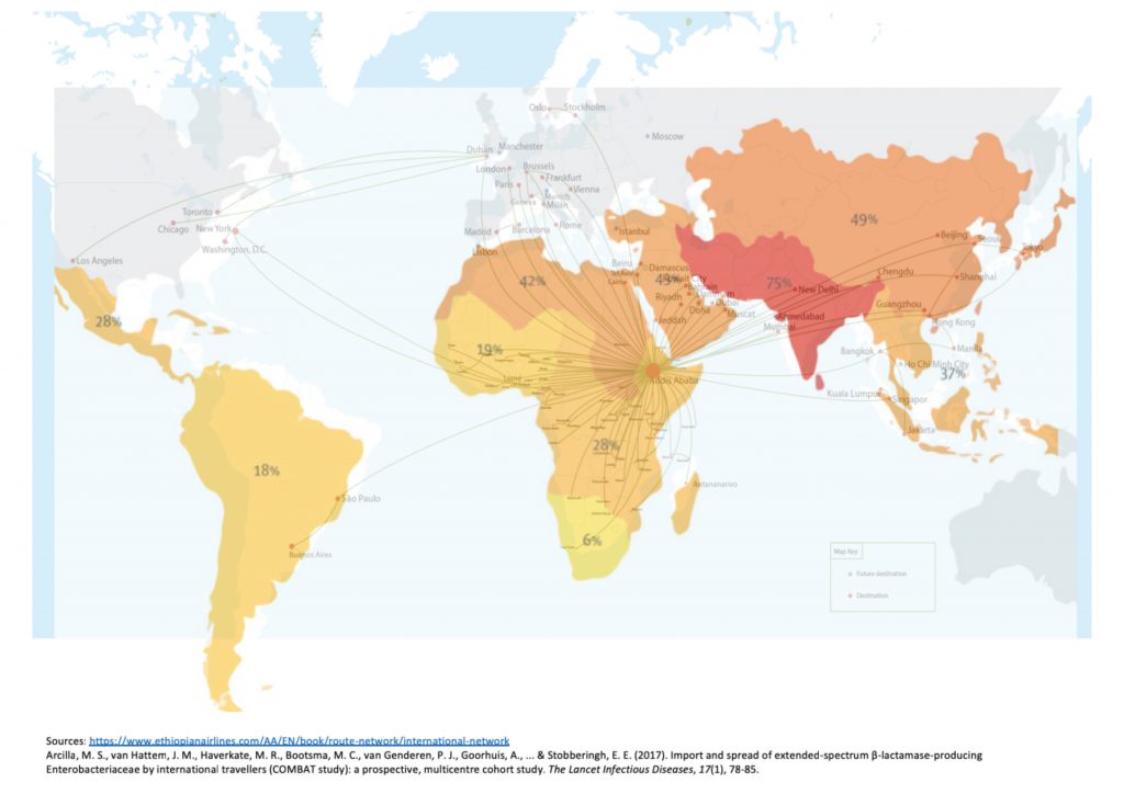
PhD researcher Alena Kamenshchikova wonders if borders even exist at all. She argues that this depends on who you ask and what you are talking about. To clarify she brought a map depicting the patterns of travel of bacteria, using the same instruments as humans such as planes. In contrast she puts national health programs that are strictly bound by borders.
In this she wants to challenge the perception of the existence of hard borders. They are much more fluid, as in – for example – an epidemic you don’t feel the border. But then, how mobile are borders?
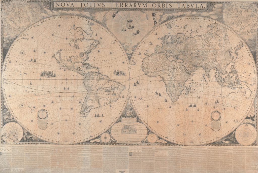
Asst. Prof. Djoeke van Netten showed a world map of Joan Blaeu dating from 1648 from Amsterdam, by which she raises the question how people in early modern times read maps. She also raised the topic of the fundamental difference on what a map used to be in history and how it is regarded nowadays.
How to present uncertainty? In this map lines are discontinued, areas left blank or only textually described. How can the importance of both be communicated and can text and image be consumed at the same time?
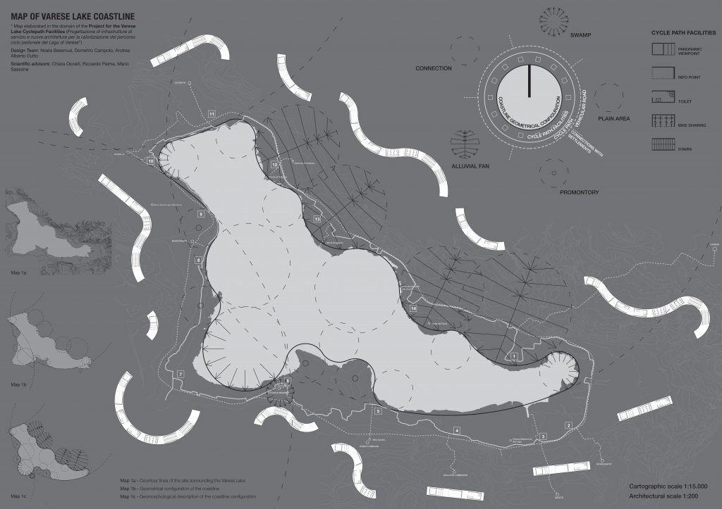
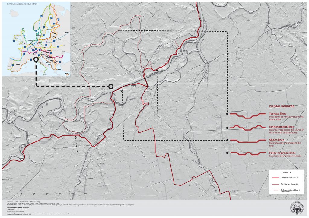
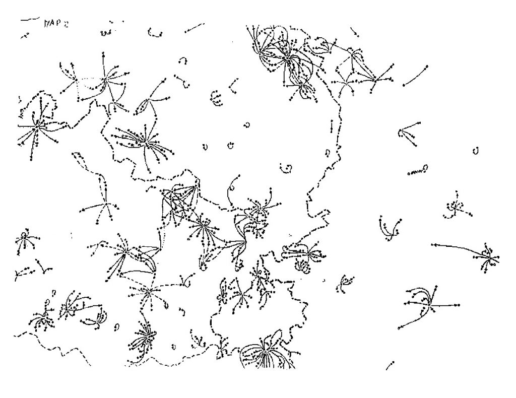
Assoc. Prof. dr. Ricardo Palma, Dr. Ing. Andrea Alberto Dutto and Chiara Occelli brought various maps, one of them being from a research about lines created by cross-border cycling routes, aiming at uncovering types and patterns. In this they discuss that borders are not lines or zones, but permeable areas, spaces of change and intermediary. They can be open or closed, and in this making them enclosed, but also making them permeable. Through this, borders as inhabitable thresholds become permeable public space.
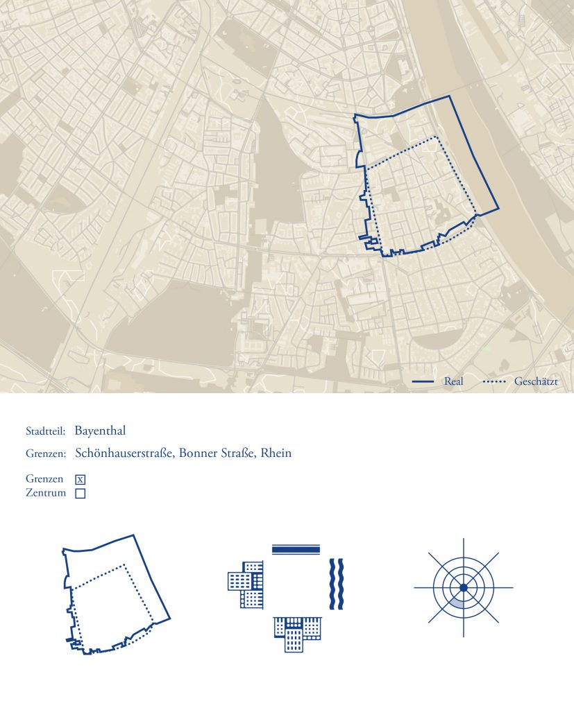
With her maps Dr. Ing. Caroline Stapenhorst touches upon the question how cartography could be used as a tool for architectural design. Therefore, she brought several maps made by a student during a seminar cartography so they could use it during their design project. In this map the student developed a map which corresponds to the language of typical administrative maps but depicts how people perceive their ‘Viertel’ (neighbourhood) and is built up according to what she was told. It highlights the difference between administrative neighbourhoods and the ‘Viertels’ people perceive and identify with. Here, borders do not receive a negative connotation but become protective as a limit that gives identity.
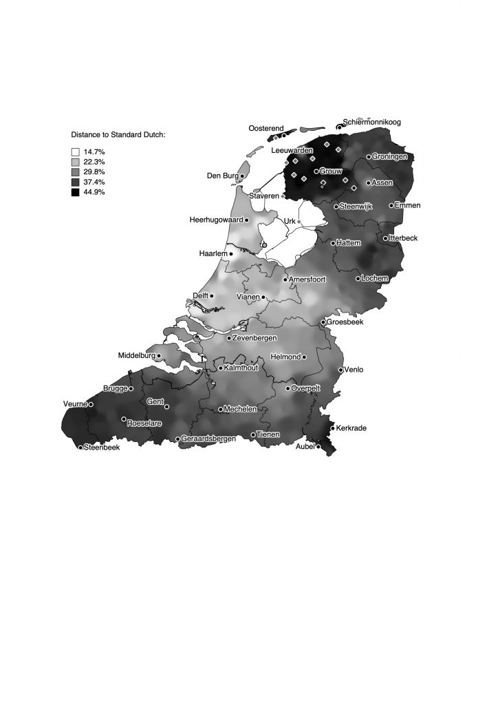
Lastly, Prof dr. Leonie Cornips brought three examples of how language can be mapped. Via this she tries to put into perspective the idea that language is territorial. In this she raises the issue that all the maps are self-made, but she does not make maps anymore, because to her, they represent too many inaccuracies.
Presentatie (evt. digitaal inkijkbaar)
[MV1]Werkt nu bij FHE. Moeten we dat aanpassen. Of is de functie van ‘het moment’ leidend?